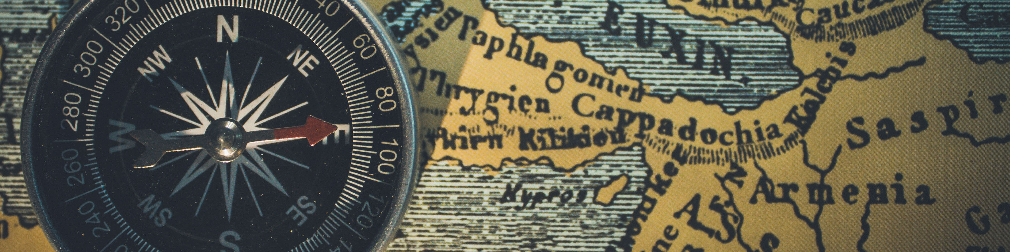
What is the Global Navigation Satellite System?
Do you know where you are right now? If you’re carrying your smart phone, then the Global Navigation Satellite System knows where you are, even if you don't.
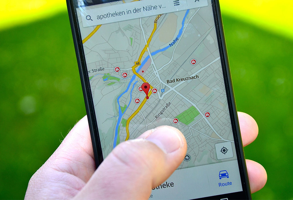
Lost again, I turn on my phone and find myself. There I am—a little blue dot standing still, an entire map of the city spread before me. Equal parts convenient and creepy, my location is known thanks to a range of technologies I take for granted—in particular the Global Navigation Satellite System, also known as GNSS.
Global Navigation Satellite System (GNSS) is a generic term that refers to any global satellite-based system which can pinpoint the geographical location of a user anywhere in the world. There are currently two fully operational GNSS systems: America’s Global Positioning System (GPS) and Russia’s Global Orbiting Navigation Satellite System (GLONASS). The European Galileo and Chinese BeiDou GNSSs are partially operational, and are expected to become fully ‘global’ in their coverage within a few years.
These systems are interoperable, meaning that with appropriate receivers (such as your smartphone) you can track the signals of more than one GNSS simultaneously, improving your positioning solution.
Each GNSS consists of three segments—the satellites (known as a constellation), ground control network, and user equipment (receivers).
GNSS satellites remain in medium Earth orbit (MEO) and transmit coded signals containing both precise orbital details and, thanks to atomic clocks, a very stable and accurate time stamp.
The ground control network keeps track of the relevant satellite constellation, monitoring a range of data such as satellite health and signal integrity. It also ensures satellites remain in the correct orbital configuration. Furthermore, the ground control network determines precise satellite orbits, updates the satellite clock corrections and provides other information essential to determining user position, velocity and time (PVT).
By collecting data from at least four satellites at once, GNSS receivers—such as those in your phone or in aircraft—are able to establish real-time geographical positioning and time synchronisation. This is because when your receiver knows the precise position of itself in relation to each satellite, it can translate its own location into an Earth-based coordinate system, resulting in accurate latitude, longitude and altitude (height).
The data is often so accurate that your position can be located to within several metres, and is why your phone automatically updates the time, even when it’s been switched off or you change time-zones.
But it’s not all about just preventing people from getting lost in the city. The data collected by GNSS provides information crucial for many industries, and to almost all geosciences and space sciences.
Its ability to provide accurate navigation and positional data, even down to the centimetre-level, is used by all forms of transport—planes, trains and automobiles, as well as boats, cyclists, hikers and even space-craft. Surveying of roads, buildings, construction sites, archaeological digs—all rely on GNSS. The technology is also used to establish changes in Earth's geophysics and geology, particularly as it relates to tectonic plate activity and rising sea level.
Other uses include weather prediction, emergency services location-assistance (helpful if you fall out of a boat in the middle of the ocean), precision-guided weapons for military use, and even marketing (your phone will know you’re outside a particular shop, and perhaps you’d appreciate an email or text promoting sales within that shop).
So many industries rely on GNSS that it’s hard to imagine modern life without it. However, as space gets more crowded—slowly filling up with space junk—the ability of newly launched GNSS satellites to reach their MEO, traversing the space junk belt, will become more fraught with danger. With this in mind, perhaps don’t throw your paper maps away just yet